Precise forestry data with forestum.ai
We deliver precise per-tree forestry data from drone imagery (optionally combined with ground-based LiDAR), processed with machine learning. We provide timber volume, precise location, species, height, and diameter at breast height.

One tech to solve it all
Forestum.ai is designed for anyone working with forestry data – from forest management planners and landowners to forest administrators, inventory offices, and timberland brokers. Our technology supports:
Data acquisition for forest management and restoration plans.
Estimation of harvesting potential.
Monitoring forest condition over time.
Forest value assessment for sales.


Technology shaped by insight
Our technology has been trained on a wide variety of forest types—from dense conifer stands to diverse mixed forests. This allows it to adapt to different conditions and provide accurate, reliable data across a range of environments.
Turning forest into facts
We tailor each step to match your specific forest and data needs. Here is an example of a typical workflow — but every project is different.
Consultation: Tell us about your needs and what data you're looking for — we’ll design a tailored solution.
Data Collection: Using drones and LiDAR sensors, the data can be gathered either by us or by the client—following our technical guidelines to ensure compatibility.
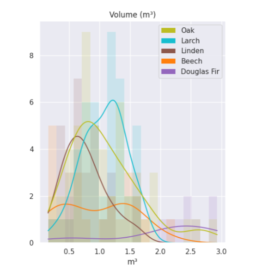
Analysis: We evaluate key tree parameters such as species composition, timber volume, height, and diameter at breast height (DBH).
Report: You receive a detailed output, including GIS layers and GeoJSON export.

Join us in shaping the future of forestry
Harness the power of drones and LiDAR for precise insights into your forest. Forestum.ai provides detailed overviews of stand conditions and timber stocks. Save time, optimize forest management, and make decisions based on accurate data. Start making data-driven decisions today.
