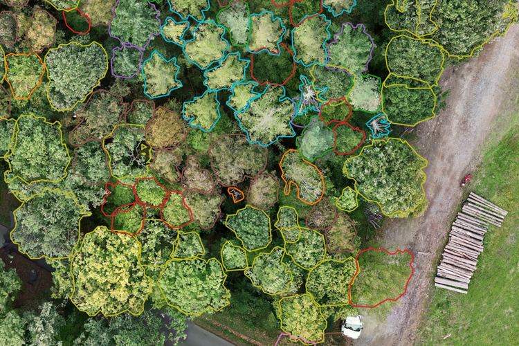
After ten years of teaching AI to recognise plants, insects and fungi, we pointed it at whole forests. Forestum.ai turns drone imagery and ground LiDAR into a GIS map with species, height, diameter and timber volume for every single tree.
By clicking “Accept All Cookies”, you agree to the storing of cookies on your device to enhance site navigation, analyze site usage, and assist in our marketing efforts. View our Privacy Policy for more information.